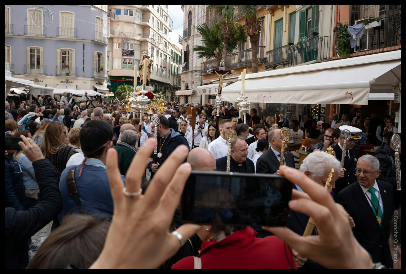
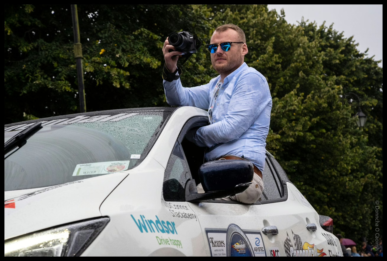
While watching Stephen Leslie’s latest video on Lee Friedlander it occurred to me I could search Google Photos and Immich for “camera” and I might get back fun photos of photographers at work.
Sure enough, it did, including many photos of people from Blarney Photography Club, and of course people in Automattic. There were also a couple of people who have since passed away which was sad to see, but still a nice memory to have. They’re not tagged nearly well enough to identify the people. I sometimes wonder what will happen to this collection when I’m no longer around to pay for backups, and make sure the external drive they’re on is working.
One feature in Adobe Lightroom that many don’t use often is the Map module. It’s really useful if your camera has GPS, if it can connect to your phone GPS, or if you manually drag images onto a map. I use the Sony “Imaging Edge Mobile” app to connect my camera to my phone via Bluetooth, but this drains the battery quickly when I’m out for a long time. It’s not ideal. If I want to use the Bluetooth remote control (not the app, the physical remote) I can’t use the location feature.
The changing of the guard at the Tomb of the Unknown Soldier, Athens, Greece.
The battery life of my camera when “Airplane mode” is enabled is stellar. Not so much when using a Bluetooth connection. If I know I’ll be out for an entire day, I’ll toggle it on and off and usually remember to do it on both devices, and sometimes I even make sure to check the next image has embedded GPS data!
Google Timeline is a feature that records your location data over time, using your phone’s GPS. This data can be very useful for geotagging photos because it provides a detailed record of where you’ve been. I’ve long wondered if I could use that GPS data to geotag my photos. You can export the entirety of your location data from Google using their Google Takeout tool. If you’ve had a Google account for a long time, that file will probably be well over 1GB is size if you had location sharing enabled. Unfortunately, it’s not in a format that Lightroom understands, and may contain many years worth of location data.
A few months ago, I decided to try writing a script that convert the Google Timeline JSON data into the GPX format that Lightroom wants, but I didn’t get very far, as “real life” intruded, and it was yet another project left on the long finger. I was looking forward to a day when I had sufficient time and energy to look at it.
The Temple of Poseidon in Sounion, Greece.
I’m glad I dropped it because I found someone had already created such a script, and it can consume a gigantic Records.json file. It will spit out the GPS data for any date range I want in GPX format. I discovered a Lightroom extension that makes importing that file easy, and it massages the data if a photo is taken in between points too.
The conversion script is a Python one called location-history-json-converter that can be found here. It’s relatively easy to install on Linux or macOS. If you use Windows you hopefully know how to get Python installed.
Once installed, I ran the following command to extract the GPS data I wanted for the first 17 days of May this year, and output it in the GPX format.
That produced a nice 1.3MB file from the huge Records.json file.
The Maps module in Lightroom does allow you to import tracklogs, but I’ve used it in the past, and sometimes it missed photos, maybe because my tracklog wasn’t recording points often enough. This time I used Jeffrey Friedl’s geoencoding extension for Lightroom. The ability to adjust the timezone was critical to me, as I wanted to geoencode or geotag the photos I took on a recent trip to Greece.
On the metro in Athens, Greece.
I messed up the first time and told it to adjust the timezone by 2 hours, the difference between Ireland and Greece but that was an hour out, possibly because of daylight savings time settings somewhere in the mix of camera, phone and exported data. I was really annoyed with myself over that because the plugin allows you to choose only “unmapped photos”, but now every photo was mapped. 75% of them were mapped to the wrong location!
I realised it didn’t matter because the originally geotagged images were tagged off my phone, so they had the same location data as Google Timeline. I went slower a second time, picking a couple of test images of places I knew, and by adjusting the timezone by 3 hours, I saw that it worked perfectly. I ran the job again against more than 1800 images and those images were geotagged correctly.
In the past, I used a GPS logger app to log my location to my phone. That created a GPX file, but I completely forgot I had that installed and simply used the Sony app connected to my camera for a long time. The Google Timeline data is already there because I allow Google to log that data, so it’s a handy source of this information. I can attempt to geotag years worth of photos now, but I’ll have to go slow, as I know the time on my camera drifts, so that will have to be accounted for.
With the solar eclipse in the United States, and Ireland and the UK getting a partial eclipse, you’re probably sick of Moon coverage, but I would just like to point you to a couple of podcasts you’ll enjoy if you want more.
The Moon itself from Radiolab is a fairly basic look at the Moon, but gets a lot more interesting later on.
Both shows are great, but if you’re only going to listen to one, listen to The Rest is History, sorry Radiolab. But you should listen to both!
If you have even more time to spare, you should listen to the Omega Tau podcast episodes on the Apollo missions I listed in this blog post about Apollo. Fascinating listening. So many technical details.
As expected, the sky outside was a grey blanket on the island of Ireland. I hope someone saw something.
A new mural was pained recently at the top of Coburg Street, Cork. It depicts Tomás Mac Curtain, Lord Mayor of Cork, playing a violin and surrounded by people from his life. He was assassinated by members of the Royal Irish Constabulary in 1920, at the age of 36.
The mural was painted by Shane O’Driscoll and Peter Martin of Ardú Cork.
I’m typing away here, working on some bugs, fixing them, not creating them! I sit back thinking about one bug in particular and I look up and see that black square above the screen and I wonder, “Is anyone looking at me?”
This is fun! After reading this tutorial on making cartoons from photos I tried to emulate his technique in the GIMP. The dialogs are slightly different but here’s what I did..
Layer->Duplicate Layer
Select the new layer, Filters->Edge-Detect->Edge, select Sobel, Amount should be 2.0, and Black should be checked.
Invert the edge-mask layer, it’s in Layers->Colors->Invert
Back in the Layers Dialog, change the Layer Mode to Divide
Play around with Layer mode settings, desaturate the top layer, blur or otherwise mess up the bottom layer. Endless fun can be had! Feel free to post links to your own creations in the comments below!
Later.. on advice I got rid of the portrait, I’ll upload another tomorrow!
Several years ago any resident of Blackrock would recognise this tag. It was plastered all over the area, on every lamp-post, many walls and practically every smooth surface. I spotted this one near Blackrock Castle while Jacinta and I cycled past. It was at the bottom of a metal door almost completely hidden by bushes!
Close
Ad-blocker not detected
Consider installing a browser extension that blocks ads and other malicious scripts in your browser to protect your privacy and security. Here are a few options.
uBlock Origin is a free, open source, ad blocker for your browser.
Use pi-hole if you have a spare Raspberry Pi on your network.
Set the private DNS settings on your phone to dns.adguard.com to block adverts and trackers.